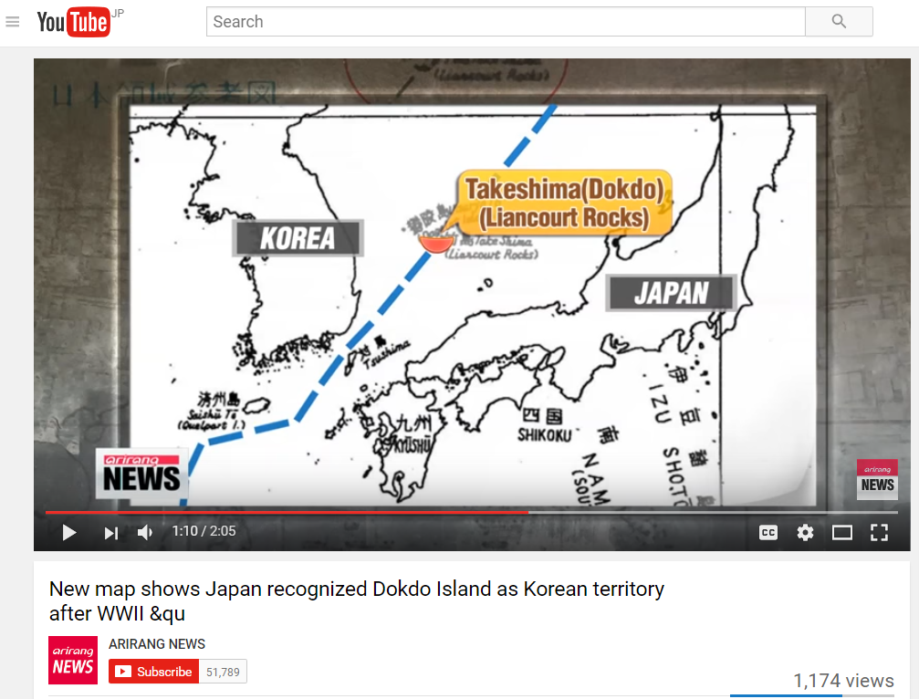
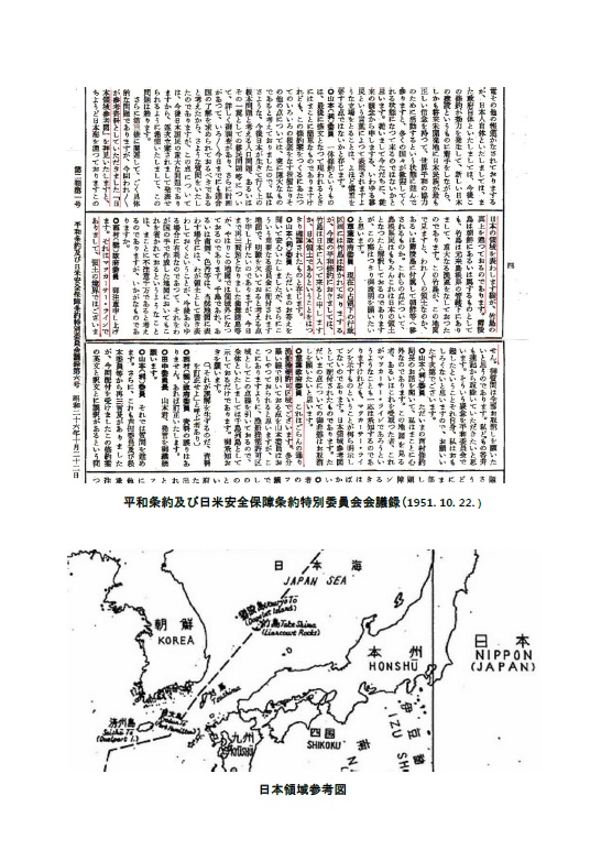
Korean Deception: Faked History and Forged Map.
Cutting out and zooming a part of the map which they want to be seen, Korean scholars and TV maliciously hide the words "Area authorized for Japanese fishing and whaling",
You can visit the map and find out the fact that the line they claim it national border line is actually the line depicted to indicate 「漁船操業許可区域」”Area authorized for Japanese fishing and whaling”
The original map is here:
1953fevtakeshima.hatenablog.com
The forged map was made of the original map called 日本領域参考図 "Nippon Ryouiki Sankouzu" by some malicious Korean scholars.

The below image of "The forged map in the video" is a clip in this video around 1:10 ~.
The forged map in the video.

The following is the forged map by a famous Korean scholar, Yuji Hosaka, in his explanatory pamphlet for the map.

Please refer the original sourse.